
Drone Flight Planning App Development for MyFlyZone
MyFlyZone needed an application on a mobile phone that would help the pilot identify which areas they can fly and follow the rules of the particular airspace. This application was created with the aim of benefiting pilots working under several jurisdictions.
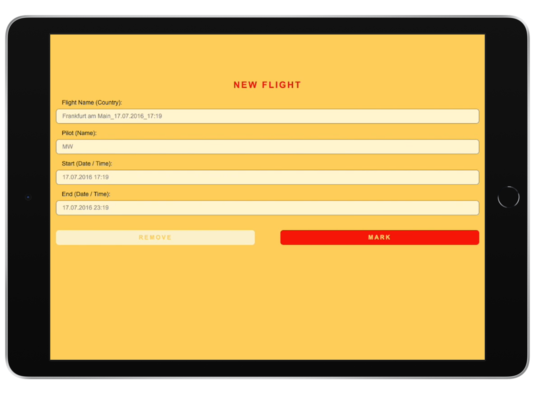
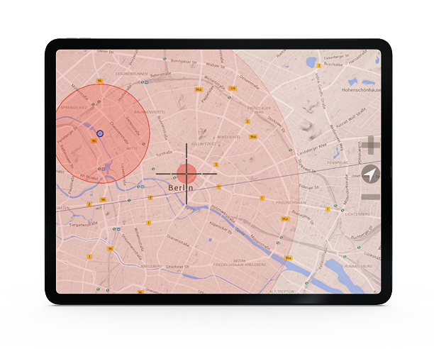
IT Craft built a cross-platform drone flight planning app powered by cloud-based infrastructure. The team implemented interactive mapping with geolocation services and real-time airspace restriction data, enabling pilots to verify flight-zone status from a single map view before takeoff.
Results
- Regulation-ready app with real-time restricted-zone visualization for German airspace.
- Single codebase across iOS and Android cut delivery time and maintenance costs.